Using Rivers to Understand the Evolution of Earth’s Surface
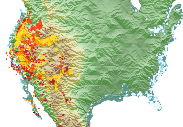
The change in up-lift in North America
Researchers have discovered that they can use rivers to understand the long-term, large-scale evolution of the Earth’s surface.
Victoria Milanez Fernandes, a PhD student in the Department of Earth Science and Engineering at Imperial College London, with colleagues, has investigated the landscape evolution of the North American continent over the last 80 million years to understand the long-term, large-scale evolution of the Earth’s surface. They have asked how landscapes have changed over the timescale of millions of years and researched what their understanding of changing landscapes tell us about the geologic processes responsible for it.
From Ancient Seaway to Rocky Mountains
“A suite of geological observations exist – fossils, for example – that tell us that about 100 million years ago, much of North America was covered by a large seaway that connected the Arctic to the Gulf of Mexico,” says Fernandes. Most of the marine rocks and fossils created in this ancient seaway are now present at one to two kilometres elevation, so can tell us something about how the land surface has evolved since, that it has been pushed upwards. However, these observations alone don’t tell us the whole story. Rivers, on the other hand, cover much of the surface of the continents, and can be used as tape-recorders of landscape change. Using a combination of geological observations and fluvial modelling, the researchers have been able to generate a geologically sound model of how the surface of North America has evolved through time.
Rivers can be used as tape-recorders of landscape change Victoria Milanez Fernandes Department of Earth Science and Engineering
But the research is not always straightforward. Fernandes says one of the biggest challenges of this work has been gathering enough geological data. “The North American continent is huge. We needed data that not only has a good spatial coverage, from the East to the West coast, from Canada to Mexico, but also a good temporal range, as we need information spanning 80 million years! This was a challenge, involving many months of finding, cataloguing and digitising data from existing publications, maps and reports.”
Modelling Topography Change
The researchers used rivers and associated fluvial modelling techniques to generate a model for how the North American continent has changed over the last 80 million years. The model tells us that North American topography has developed in three main stages since the demise of the continental seaway, which is consistent with independent geological observations. These findings lead us to believe mantle convection has played a significant role in generating the topography we see today.
Next, Fernandes wants to further explore the implications of the model they have generated and compare its predictions for sedimentary fluxes, drainage patterns and incision rates to geological data.
“Continental Scale Landscape Evolution: A History of North American Topography”by Victoria M. Fernandes, Gareth G. Roberts, Nicky White, Alexander C. Whittaker, was published online on 6 September in JGR Earth Surface.
Article text (excluding photos or graphics) © Imperial College London.
Photos and graphics subject to third party copyright used with permission or © Imperial College London.
Reporter
Victoria Murphy
Institute of Global Health Innovation