Fieldwork funding
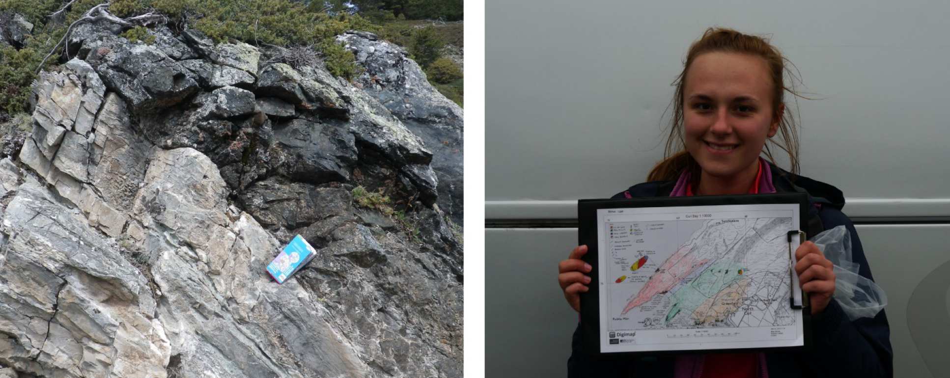
The Department of Earth Science and Engineering pays for all taught coursework (transport, accommodation, food on catered trips) and provides essential field equipment and safety equipment at no cost (compass clinometer, hammer, hand lens, field notebooks, safety glasses and hi-vis jacket). Students are asked to provide their own personal field gear (e.g. boots, waterproof jacket and trousers, day backpack). Additional financial support is available to help any students experiencing financial difficulties.
Please note, all fieldtrip locations below are indicative and can change.
Main field courses:
Dorset & Cornwall, UK (all degree schemes)
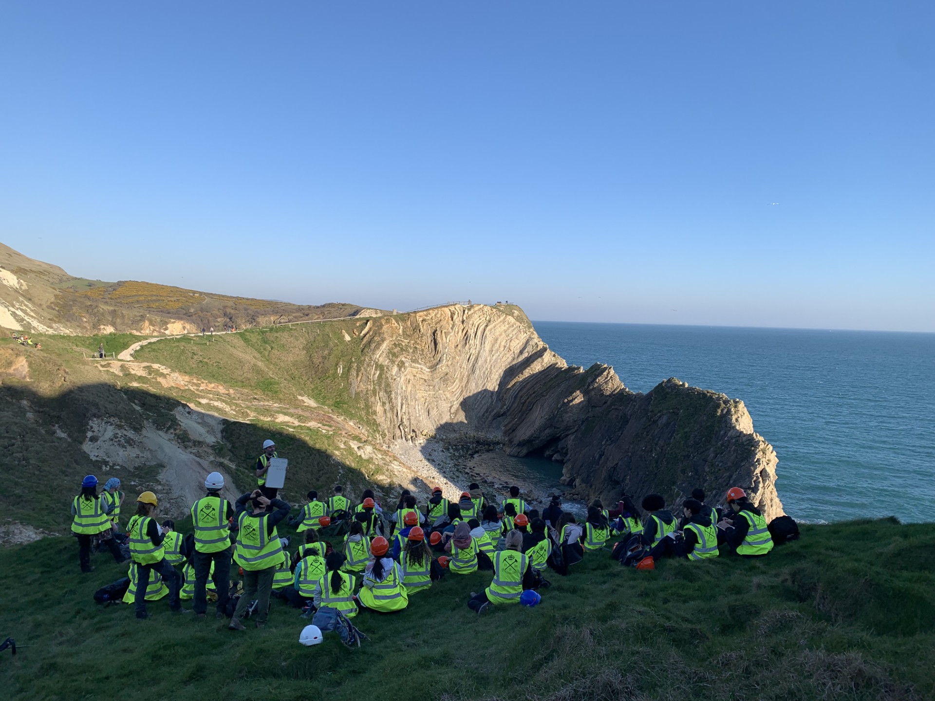
The course introduces the principles of professional fieldwork for geoscientists, including rock and mineral identification, measurement and interpretation of geological features, and geological mapping. There is an emphasis on professionalism in the work environment, preparation for fieldwork, and fieldwork health and safety.
During Dorset and Cornwall fieldtrips you will have the chance to get to know your peers as well as the staff who run the trips. It is a great opportunity to bring together all the theoretical learning from your first year of study and to apply that knowledge in the real world.
Pyrenees, Spain (Geology, and an option for Earth and Planetary Science)
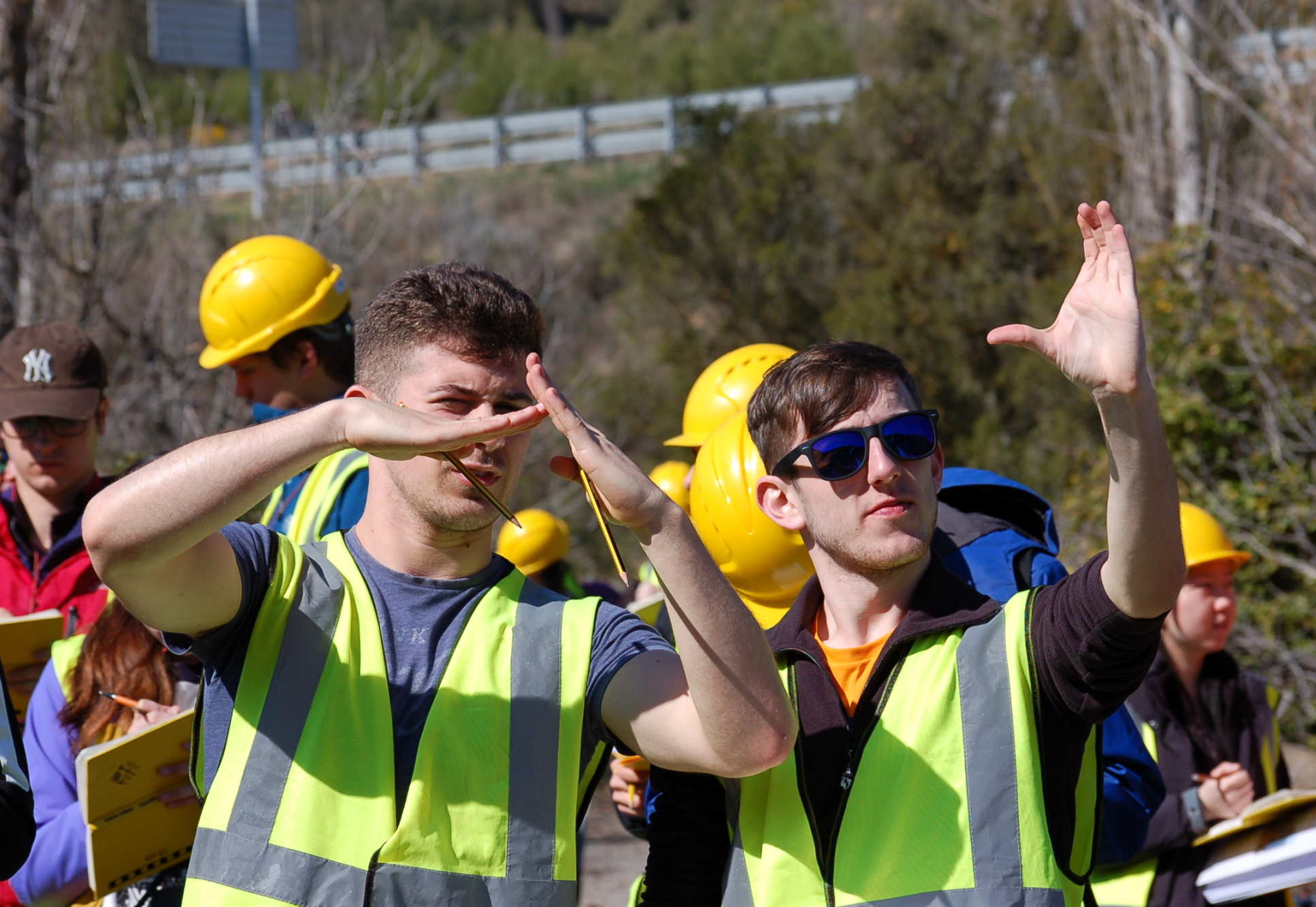
This 10 day fieldtrip focuses on the spectacular structural and sedimentary geology of the Spanish Pyrenees. We spend the first part of the trip looking at regional-scale thrust faults and basins in Catalonia, which formed during the building of the Pyrenean mountains 40-50 million years ago. The second part of the trip looks at the sedimentology and complex deformation history of the area around the town of Ainsa in neighbouring Aragon. This trip is designed to show how mountain building, erosion and deposition shape the geology we see around us, and trains students to 'read' the geological history of a region from structural and sedimentological observations.
NW Highlands, Scotland (Geology, and an option for Earth and Planetary Science)
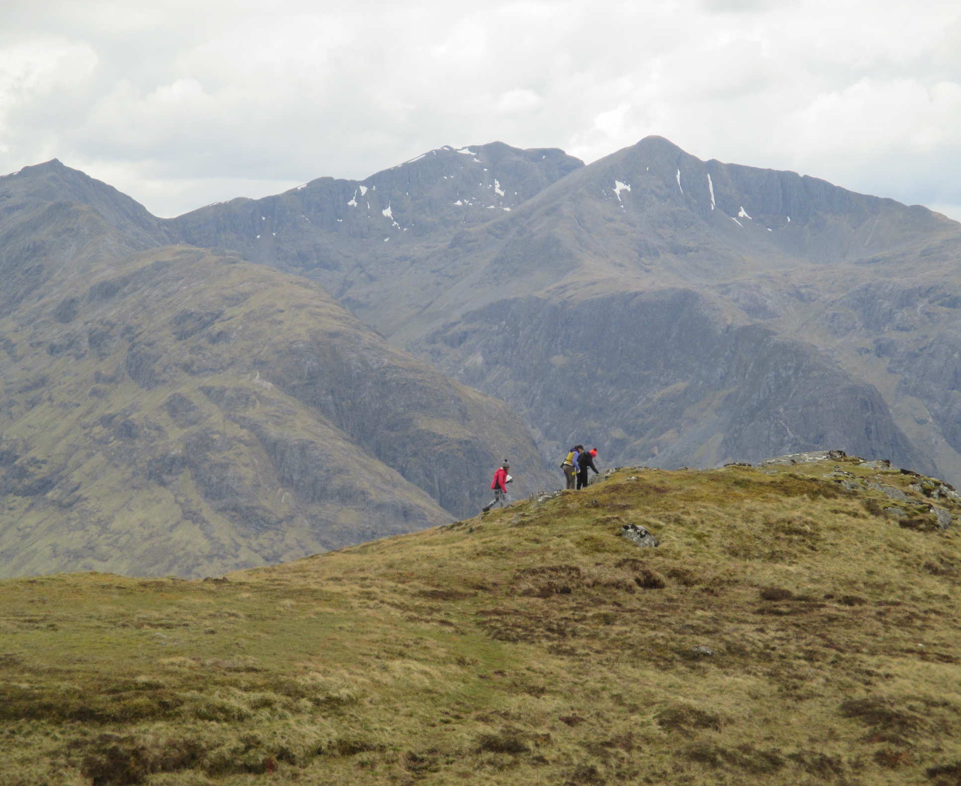 Over two weeks students spend time studying the metamorphic, igneous and structural process of the Caledonian mountain belt of Scotland. Throughout the trip there is a strong emphasis on developing mapping skills in preparation for their independent mapping project which follows after the trip. Students map a variety of rock types and structures and learn to employ the appropriate techniques in different situations.
Almeria, Spain (Geophysics, and an option for Earth and Planetary Science)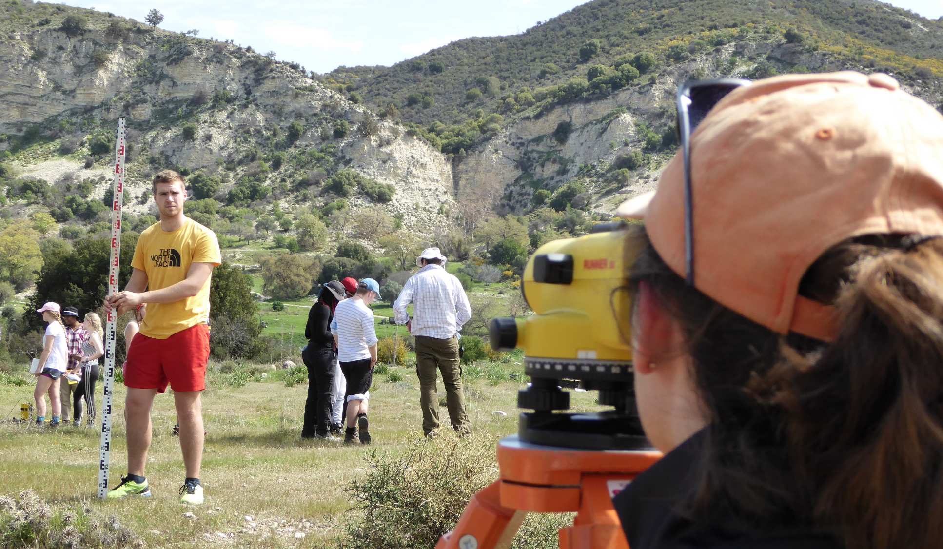
This 10 day, geophysics-focused field trip heads to Almeria, Spain, during one of the more clement times of year. Here, students learn how to use a range of geophysics field techniques (seismics, ground-penetrating radar, and electrical and magnetic methods) to image features in the near subsurface, including faults and geological contacts. Students also conduct a gravity survey across the Sorbas basin, which helps put their observations in regional context. Students learn how to process, analyse and interpret the data they collect, acquiring a range of skills essential to every geophysicist.
Sardinia, Italy (Geology, optional for Earth and Planetary Science)
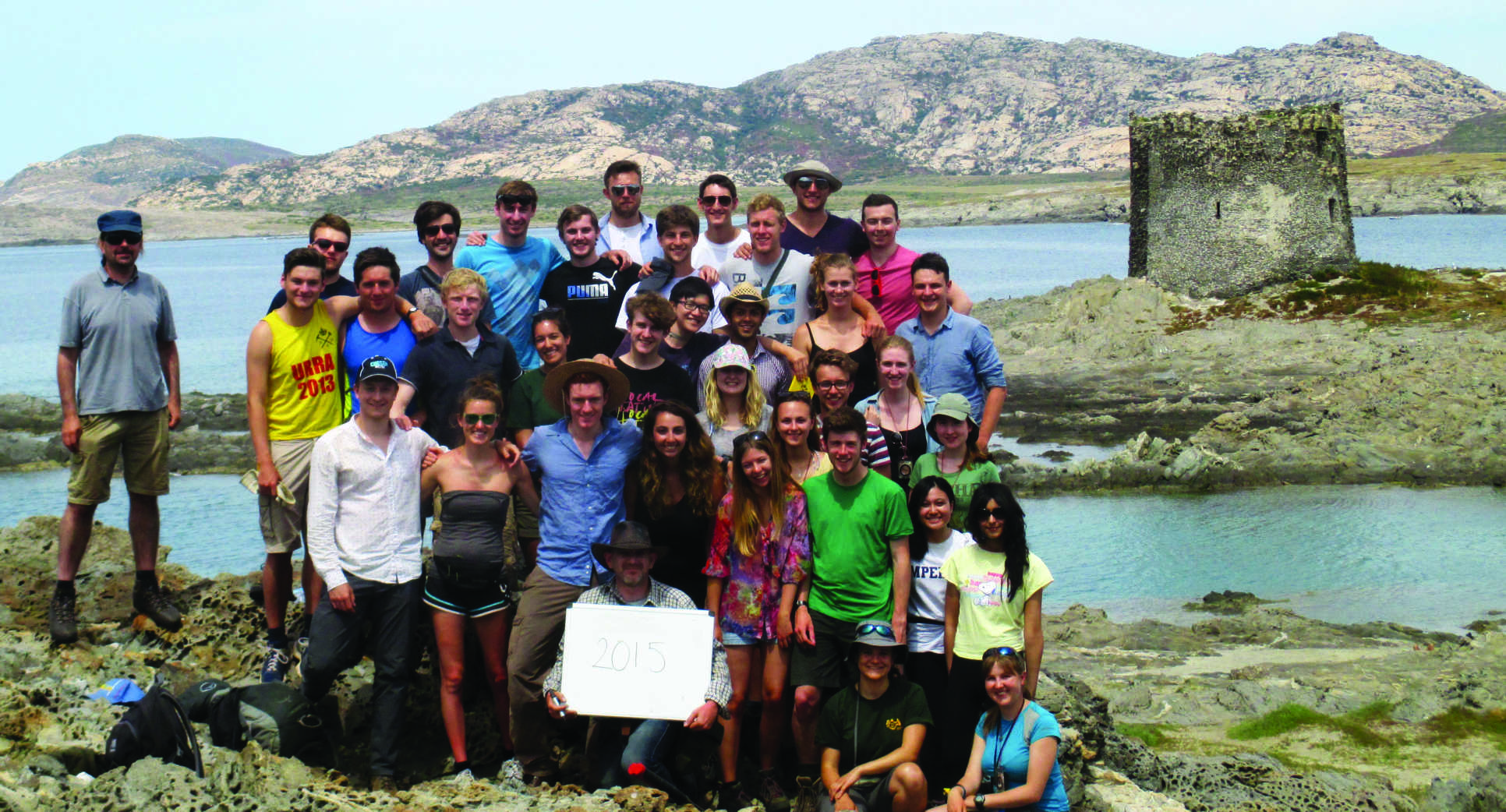
The 3rd year Sardinia fieldtrip focuses on how volcanism, metamorphism and sediments interact. The trip provides students with an introduction to the synthesis of field data to solve research problems in a unique field based research project chosen by the students themselves.
Apennines and Elba, Italy (Geology, optional for Earth and Planetary Science)
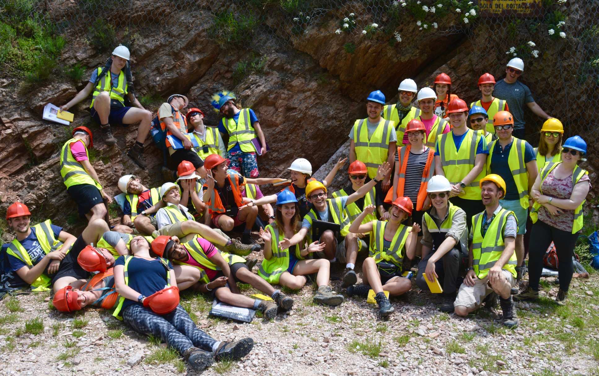
This Master's level field course focuses on advanced field skills in an area of active tectonics. The 12 day trip comprises a transect across the Italian mainland from Ancona to Tuscany, and finishes with 4 days on the Isle of Elba in the Tyrrhenian Sea. Italy is an area of real geologic interest because it is both actively extending and undergoing compression at the same time, and we visit active extensional faults that have had historically documented earthquakes. More widely, the trip integrates a broad range of hard and soft rock geology in order to build up a dynamic picture of the evolution of the western Mediterranean from the Jurassic to the present day. Students use published literature, field measurements and advanced-level techniques, developing field skills to an industry or research-level standard by the end of the course.
Independent geology mapping project (Geology; optional for Earth and Planetary Science)
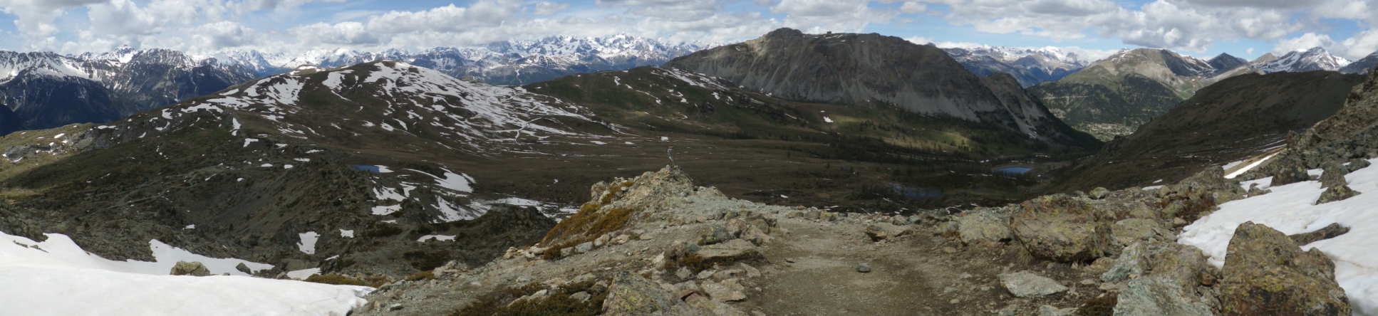
At the end of year 2 Geology students undertake an independent mapping project. This is an opportunity to integrate the many skills and wide range of knowledge that students have learnt over the previous two years. Over 30 days students map an area of their choice, usually in Europe. By synthesising field observations students then produce a final map and report, incorporating the tectonic context of the area. Whilst this is a major piece of work, for many this project is a highlight of their degree.
Please note that all field trips referenced on this page are included in the cost of tuition, except for the fieldwork component of the independent mapping project, which Geology students undertake in the second year of their programme. We provide a bursary to all students undertaking the mapping project in addition to both college and departmental hardship funds that you can apply to if you are facing financial hardship. This bursary should cover the majority of costs associated with the project. You may be able to further reduce the cost of this project by negotiating shorter accommodation contracts in London during this period.