Long-term drone InSAR monitoring of nuclear decommissioning
Project Started: September 2019
Supervisors: James Lawrence, Richard Ghail, Philippa Mason
Background
Nuclear energy power stations may operate for upwards of 80 years and then be decommissioned over similarly long timescales through a process of deferred dismantling, thus increasing the potential for age-related degradation and material deformations, such as strain and cracking. Concrete structural health monitoring (SHM) is therefore critical in demonstrating the ongoing safety case of these sites. Traditional fieldwork assessment methods such as GPS and levelling may have limitations in terms of efficiency, coverage and accuracy, therefore remote sensing methods are often preferred.
Interferometric synthetic aperture radar (InSAR) is an active remote sensing technique that is used to quantify millimetre-scale surface deformations from radar data, usually acquired by satellites. Geophysical applications of InSAR include understanding surface deformation associated with tectonic, volcanic, and glacial processes, whilst implementation in geotechnical engineering includes infrastructure, construction, and tunnelling monitoring. Satellite InSAR overcomes some of the limitations of fieldwork-based methods, but it has restrictions too. For instance, the temporal resolution is limited to several days due to the satellite orbits, whilst the spatial resolution is limited to several metres. Furthermore, high frequency radar signals cannot be used at these large ranges due to the increasing effect of atmospheric signal attenuation. As such, there is the potential to develop a low-altitude radar carrier, to provide the insights of surface deformation from InSAR, with improved spatial-temporal resolutions, and using higher frequency radar.
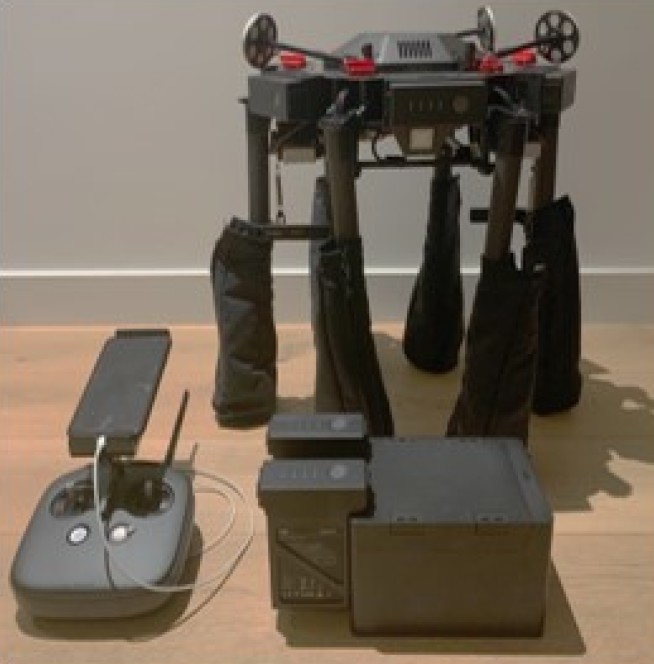
Drones are small and lightweight unmanned aerial vehicles (UAVs) that are an emerging technology for photography, videography and low-altitude monitoring and surveying. Their size leads to one of their main advantages, which is their fast and convenient deployment. Several authors have begun developing small radar systems for drone deployment. These papers show promising results in terms of radar and synthetic aperture radar (SAR) processing and motion compensation algorithms, however repeat-pass InSAR is yet to be demonstrated.
Research Aim
The primary aim of this research is to develop a drone-borne radar system to provide long-term InSAR monitoring of infrastructure in the nuclear energy industry. Like satellite InSAR, the usefulness of this system should extend beyond this industry, to applications throughout geophysics and geotechnical engineering. Drone InSAR should improve upon the spatial-temporal resolutions of satellite InSAR and enable the use of higher frequency radar due to the minimal atmospheric range.
Research Objectives
The system to be developed is comprised of two parts. Firstly, the radar payload, which includes all the additional hardware components to be mounted to the drone, such as the radar, processor, antennas, enclosure, GPS correction modules and a camera. The antennas and enclosure will be custom-designed and 3D-printed. The payload will be designed under SWAP-C considerations (size, weight, power and cooling). Secondly, the software includes the data processing methodology for digital signal processing (DSP), radar, SAR, InSAR, drone payload integration (SDK), motion compensation and GPS corrections (PPK). The system will be tested and refined under laboratory conditions and fieldwork.
Contact Geotechnics
Geotechnics
Civil and Environmental Engineering
Skempton Building
Imperial College London
South Kensington Campus
London, SW7 2AZ
Telephone:
+44 (0)20 7594 6077
Email: j.otoole@imperial.ac.uk
Alternatively, you can find a member of Geotechnics staff on the Department of Civil and Environmental Engineering website.
Follow us on Twitter: @GeotechnicsICL
We are located in the Skempton Building (building number 27 on the South Kensington Campus Map). How to find us