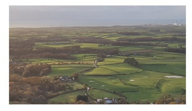
Geological and geomorphological characterisation of West Cumbria
Project started: October 2020
Project funded by: The Engineering and Physical Science Research Council (EPSRC) Industrial Cooperative Awards in Science & Technology (ICASE).
Supervisors: Dr James Lawrence, Dr Christopher Coleman (Jacobs)
Background
The last British-Irish Ice Sheet (BIIS) covered most of Britain and Ireland during the last glacial period. The BIIS reached its maximum ice extent around 27,000 years ago during the Last Glacial Maximum (LGM) but had mostly deglaciated by 14,000 years ago. The Irish Sea Ice Stream (ISIS) which drained the BIIS flowed around the west Cumbrian coast and at times coalesced with Lake District glaciers. This formed an area of complex glacial geomorphology and geology; the complex nature of the landscape has led to uncertainty regarding the glacial stratigraphy, geomorphology, and glacier dynamics. Further research is needed to better understand the impacts of ISIS and Lake District glaciers in west Cumbria.
There are two nuclear sites in west Cumbria, Sellafield and the Low Level Waste Repository (LLWR), both of these have constant ongoing engineering works. The LLWR is a disposal facility for low level radioactive waste, the understanding of the geology and geomorphology is an important factor for deciding the location for radioactive waste disposal. Furthermore, a sound geological understanding will be necessary for future construction of new buildings and railways and for upgrading current infrastructure in the area.
Research aim
To investigate the geomorphology of west Cumbria within the vicinity of the LLWR and develop a unified regional Quaternary lithostratigraphic model to support understanding around the nuclear sites in the area. The model will include the geology and geomorphology of the area to further the understanding of the past environmental history, climate, sediment processes and glacier dynamics. The model will be achieved by mapping the geomorphology from LiDAR, satellite/aerial imagery, and fieldwork. The geological understanding will be developed from investigating borehole logs and exposed sediment sections (rivers, cliffs), which show the surface and sub surface geology.
Contact Geotechnics
Geotechnics
Civil and Environmental Engineering
Skempton Building
Imperial College London
South Kensington Campus
London, SW7 2AZ
Telephone:
+44 (0)20 7594 6077
Email: j.otoole@imperial.ac.uk
Alternatively, you can find a member of Geotechnics staff on the Department of Civil and Environmental Engineering website.
Follow us on Twitter: @GeotechnicsICL
We are located in the Skempton Building (building number 27 on the South Kensington Campus Map). How to find us