The 1964 Gicce Cokka Expedition was a ten‑week scientific and mountaineering project in Arctic Norway aimed at producing the first modern survey of the Gicce Cokka ice cap. Its primary objectives included creating a 1:10,000 contour map of the glacier, establishing a permanent trig point network, installing ablation stakes to measure melt, conducting meteorological observations, and producing photographic and film records. Additional aims included studying katabatic winds, light variation during the Arctic day, sub‑glacial water flow, and testing equipment and vehicle performance under remote conditions.
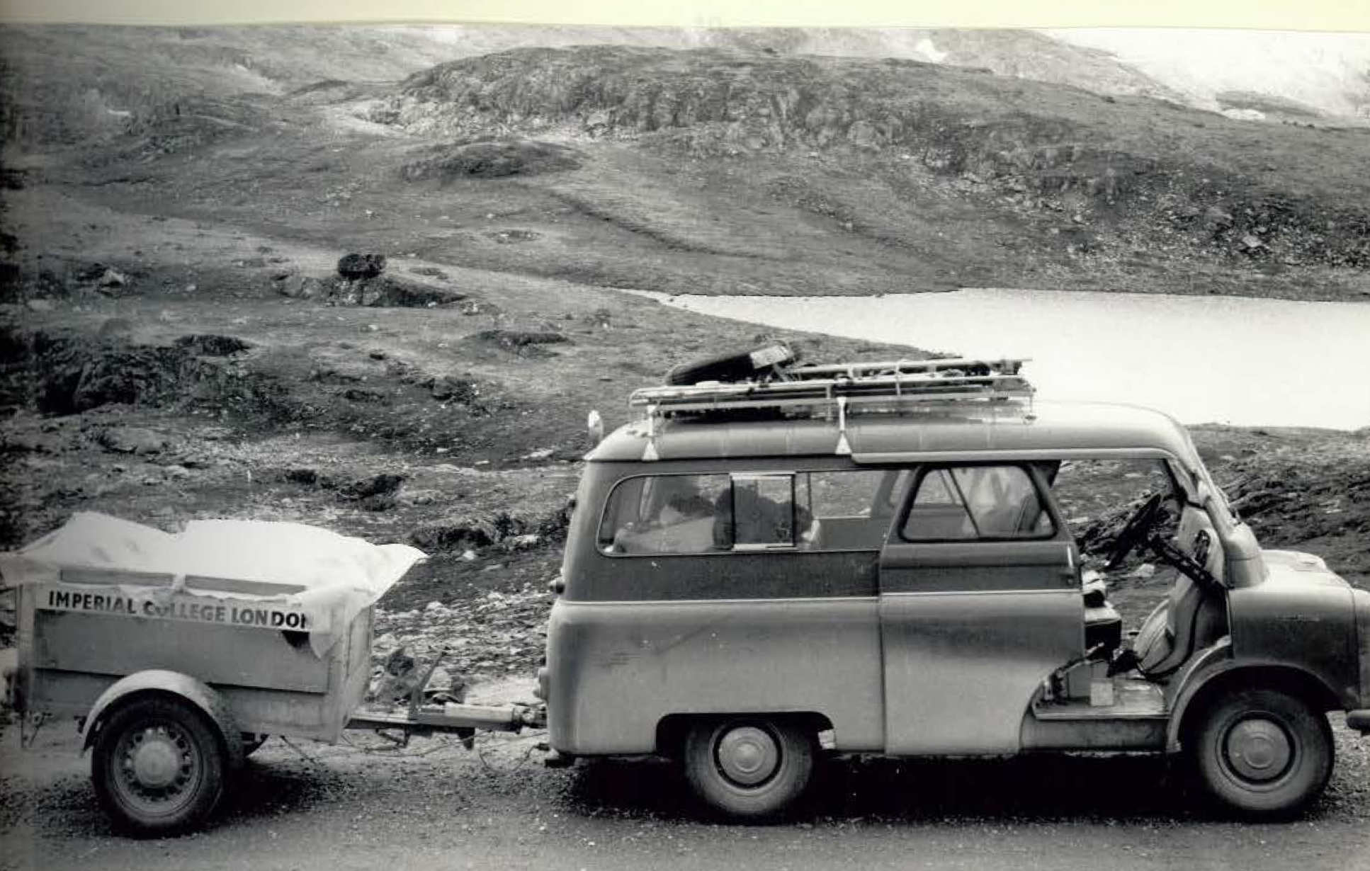
The team of six travelled overland in a modified Bedford Workobus via Norway’s Arctic Highway, reaching the remote Sorfjord region by mail boat before ferrying equipment to the mountains. Deep late‑season snow delayed scientific work by nearly two weeks, necessitating route‑finding across unstable snowbridges, steep ridges and melt‑fed gullies before a safe passage to the ice cap could be established. Multiple hauling trips were required to move more than a ton of equipment to the base camp on the glacier margin.
Once established, the expedition completed extensive surveying, setting up trigonometrical stations around the ice cap and producing both theodolite‑based and plane‑table maps. Ablation stakes were installed along a 4 km transect, with regular measurements showing melt rates increasing downslope. Meteorological observations were taken twice daily for over five weeks, revealing a short workable Arctic summer characterised by persistent cloud, frequent rain, and only brief stable periods.
Additional programmes included tracing sub‑glacial meltwater using fluorescein dye, recording light variation over the 24‑hour day, and documenting climbing excursions, during which several previously unreported peaks were ascended.