The Bogda Shan expedition consisted of six postgraduate geologists who spent September conducting fieldwork across the Bogda Shan mountain range in Xinjiang, northwest China. The primary aims were to construct an annotated topographic profile from the Tarim Basin in the south to the Junggar Basin in the north, and to investigate the geological structures and rock types influencing the formation of the eastern Bogda Shan and wider Tien Shan region.
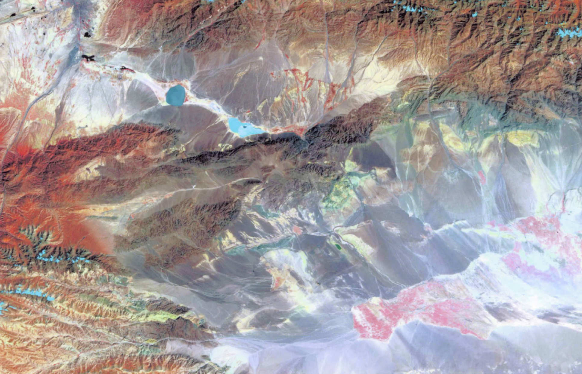
The expedition was carried out in collaboration with the Xinjiang Seismological Bureau, which provided local expertise due to the region’s high seismic activity. Pre‑expedition planning relied heavily on GIS datasets—including Landsat ETM‑7 imagery, Corona satellite photography, and Russian topographic maps—which guided the selection of field sites and supported remote interpretation before arrival in China.
Fieldwork was divided into four main phases: a mobile investigation in the Turfan Depression and Flaming Mountains; a 10‑day south‑side campaign involving base and advanced camps near major glaciers; an 8‑day north‑side program around Heavenly Lake; and a final two‑day mobile survey along the mountain flanks. These efforts documented active and recently active fault traces, evidence of neotectonic deformation, glacial geomorphology, and lithological transitions including volcanic tuffs, limestones, mudstones, and marine sedimentary sequences. Both southern and northern glaciers were surveyed using GPS to create baseline datasets for monitoring long‑term glacial retreat.