Stewart Agar
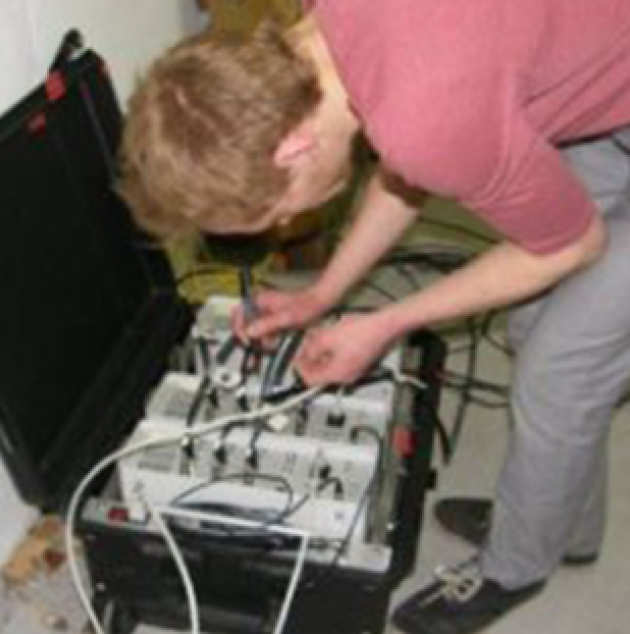 Applying InSAR technology for mass measurement of the UK in order to aid in siting a geological disposal facility for nuclear waste arisings.
InSAR is a remote sensing technique that measures movement of the earths surface. Evolutionary improvements of the techniques involved and the launch of new, dedicated satellites allow for millimetre accuracy in tracking the process that deform our ground. This project will develop and apply InSAR to the UKs efforts to dispose of radioactive waste in a geological disposal facility (GDF).
A GDF is required to safely handle higher activity waste such as spent nuclear fuel for at least 100,000 years. The heat and radioactivity of these complex wastes will be greatly reduced in these timescales, however millions of years is needed for certain radioisotopes to decay to levels more naturally observed.
As such, a GDF in the UK will be eventually required to demonstrate a design life of at least a million years to national and international regulators. To do so will require a comprehensive, evidence-based understanding of the earths geological processes.
Processes such as tectonic movement and the location and propagation of faults can drastically affect a GDFs behaviour as these evolve over the sites life, thus a designer must be able to predict these if the site is to safely function. InSAR, then, presents an opportunity in measuring ground deformation from which such processes can be inferred. This projects surface deformation data will be 'inverted' to produce a 4D model of the stress and strain within the UK, allowing key insight into these long-term processes.
InSAR in its current state is not without it's limitations however. A large variety of techniques are currently used, and work is required in selecting, verifying, and improving these in order to achieve an accurate model. A major challenge for the project is the poor performance of InSAR in highly vegetated areas such as agricultural or rural land, where inconsistent and chaotic growth and movement are such that it is extremely difficult to extract the millimeter-accuracy ground measurements required. Currently such areas are (essentially) interpolated.
Mapping the deformation of the entire UK will also require a highly automated and standardised approach, with high performance computing likely to be required if some of InSARs trickier processing steps are to be completed in good time. Optimising such large data-handling operations will be a very practical concern of this project.
Email: s.agar16@imperial.ac.uk
Gosia Mider
Anthony Carpenter
Tony Maher
Zixiao Wang
Christine Bishcoff (passed 2018)
Applying InSAR remote sensing technology for the safety of London’s subsurface infrastructure.
This research aims to improve understanding of ground movement and its causes in London. The model of London’s geology has been changing rapidly over the past 5 years and it is now thought that the London Basin is underlain by a series of rigid blocks, tens of kilometres in scale, that are moving on a millimetre scale relative to one another.
The project aims to monitor and improve understanding of these small-scale movements using Differential Interferometry based on Synthetic Aperture Radar images (DInSAR). The outcomes of this project will be particularly important for urban subsurface designs, for which mm-scale ground movement, if unanticipated, can incur major costs and safety risks.
Email: christine.birschoff10@imperial.ac.uk
Justyna Edgar (passed 2021)
 Tackling engineering issues in tunnelling and piling using techniques in sequence stratigraphy and palaeotectonic geomorphology.
The origin of the highly variable Palaeogene sequences of South East England remains a highly contested area of research. The Harwich Formation is the least understood and most unpredictable of these formations within the geological sequence of the London Basin.
Its intermittent preservation, confusing lithologies, and limited previous research have led to a number of engineering challenges, particularly in the context of tunnelling and piling.
This project will focus on the origin of the Harwich Formation using a combination of sequence stratigraphy and palaeotectonic geomorphology techniques to identify factors responsible for the varied conditions present during its deposition.
The results will be used to interpret the processes controlling its depositional environment and to establish a comprehensive stratigraphical framework for the Harwich Formation.
Email: j.edgar16@imperial.ac.uk
Tom Morgan (passed 2021)
 Linking multiple data sources in modelling stress fields and processes for a greater understanding of how far-field tectonics affects engineered structures.
Tom's project sets out to understand the fundamental science behind the effects studied previously in several industrial MSc and PhD projects that first provided the data to identify that inversion is occurring in the London Basin at the present day.
These projects focused on geological structures, such as faults, drift filled hollows and other engineering hazards, observed on sites across London.
The aim of this research is to link the numerous ‘snapshot’ site data to the large-scale geomorphological and remote sensing data, by understanding the fundamental processes by which far-field tectonic stresses acting on basement faults, propagate and drive structures that affect the engineering near-field.
Email: tom14@ic.ac.uk