Topics: Earth systems science
Type: Briefing paper
Publication date: February 2013
Download
Summary
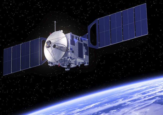 Passive satellite sensors have provided unique observations of the Earth’s climate system since the dawn of space-based weather observations in 1960. In the following years, such measurements have become ever more numerous, the instrumentation more complex and our use of the data more sophisticated. From combinations of different satellite measurements observing the Earth we can retrieve information about the Earth’s surface, atmosphere and energy budget. In this way satellites can provide us with a global picture of the Earth that cannot be obtained by other means and their measurements can be used to provide detailed maps of, for example, surface and atmospheric temperature, humidity, greenhouse gas concentrations, circulation patterns, cloud amount and properties.
The aim of this briefing paper is to provide an overview of the way measurements from space can provide a basis for the understanding and analysis of climate change, highlighting some of the insights that they have provided but also describing the difficulties that are inherent in constructing climate quality spacebased records. We also introduce several proposed initiatives that may help to resolve some of these difficulties in the future and provide an indication of how these data may be used to address several important scientific and policy areas.
Contents
- Executive summary
- Introduction
- Understanding the satellite measurements used to study climate change
- Reconciling space-based EO records with other evidence for change
- Future capabilities and implications for climate policy
- Conclusions
View publications by:
Topic
Climate Science
Earth and Life Sciences
Energy and Low-Carbon Futures
Resources and Pollution
Economics and Finance
Health
View all publications and browse by year
Publication type
Briefing papers and Briefing notes
Grantham Institute Outlooks
Evidence & submission papers
Infographics
Institute reports and analytics notes
Grantham notes
Collaborative publications
Discussion papers
Institute event overviews
Working papers