How did life on Earth begin? Professor Chris Jackson says the answer is right beneath our feet.

Words: Radhika Holmström / Photography: Angela Moore
On paper, Professor Chris Jackson specialises in the analysis of sedimentary basins. In practice, the range of his work is so broad it takes in the very fabric of the planet, including how the Earth’s crust forms and is deformed – and how it may change in millennia to come. No wonder he says that spending just five minutes with a geologist can tell you a lot about the rich geological history of where you are standing and how our landscapes came into existence.
“I want to know things like: how do mountains form? What processes stretch the Earth’s crust? How do the rocks and sediment contained in different environments – rivers, beaches, deserts and so on – record the evolution of the Earth over millions of years?” It’s a huge, overarching topic and, unlike many colleagues in the field, Jackson takes a big-picture approach, enabling him to work in several seemingly diverse but, on closer inspection, interlinked areas of geoscience.
The social impact of the research motivates Jackson and his colleagues, and his work has a distinctly commercial application. “Once you know how the Earth evolved, you’re more likely to know where to drill for hydrocarbons,” he says.
Those investigations are focused far below the surface of the Earth and access astonishingly detailed information. “We use seismic reflection data to essentially x-ray the earth deep beneath our feet, even in areas currently under several kilometres of water. To do this, we create a massive underwater bubble that sends sound waves down into the rocks below: by doing this we can image down to 20km and cover areas hundreds of square kilometres wide. We can interpret these large-scale, relatively low-resolution data, along with small physical samples of the rocks and fossils obtained from boreholes; by integrating across scales, we can build a picture of the incremental changes that have happened in that particular part of the earth, and distil the information that’s of interest to the hydrocarbon industry.”
Sometimes data is sent back to Jackson at his Imperial office – he and his colleagues are currently looking at data from offshore New Zealand and Australia – but he also goes into the field, to examine what can be gleaned from the surface. He and his team have worked across South America, Africa and northern Europe, mapping and analysing the landscape around them, but, he says, the local landscape prompts just as much reflection.
They also work on volcanic and earthquake activity, just one aspect of their research that traces contemporary threats back to their origins. “When we look at the composition of various rocks, we’re always asking ourselves: ‘Is it volcanic? Is it sedimentary: did giant rivers used to flow here? Is it limestone, deposited in ancient coral reefs? When you ask those questions, you can start to reconstruct the landscape of many millions of years ago. Ancient rocks are exposed at the earth’s surface still, and yet they tell you about the beginnings of life on Earth.”
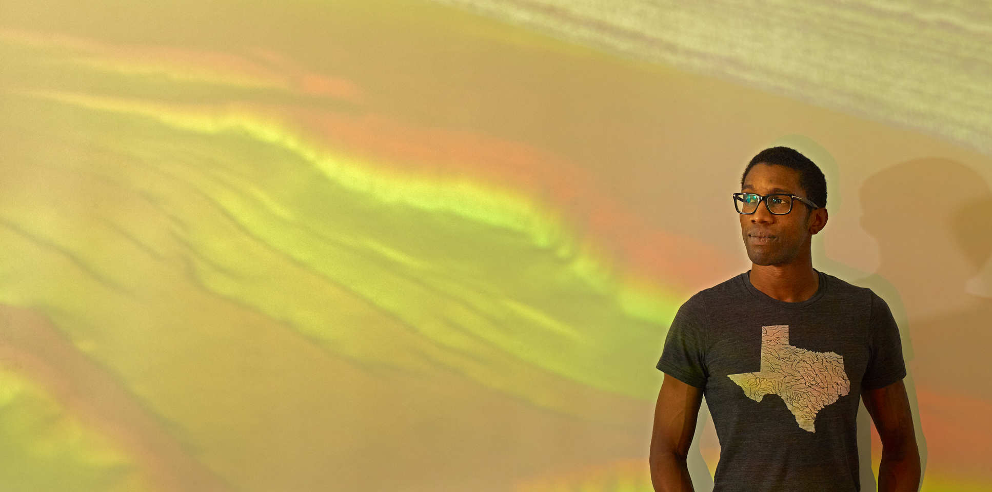
Professor Chris Jackson is Professor of Basin Analysis at the Department of Earth Science and Engineering.